Followers

Monday, August 16, 2010

Mount Adams Weekend


Backpacking on Mount Adams was the goal for the weekend. Mount Adams is located roughly in the middle of nowhere and there are two main routes to get there. Head straight for the mountain on largely secondary, two lane roads or go longer route down I5 and then cut over east on 12. What do to. I picked the straight shot. It never entered my mind that we’d have to take BOTH routes to get to the mountain.


Getting out of work Friday early just didn’t pan out so we were set on a Saturday morning departure. We started a little later than we should have and ran into some traffic south of Puyallup. That gradually thinned out and we went through Eatonville, and swung south on highway 7. We had seen plenty of Mount Rainier, but hadn’t spied Mount Adams yet. We were getting a little tired of being in the car for so long when the traffic came to an unexpected dead stop. People getting out of their cars stopped. We couldn’t see the cause, but there was no traffic coming the other way and emergency vehicles were racing towards something, using the open wrong way lane.


After about 40 minutes we got the word that there was an accident involving the state patrol and the road would be closed for an additional 2 hours. Nuts. Backtrack, head west away from the mountain, hook into I5 and take the route I should have taken in the first place. It was a 70 mile detour.


Approaching Mount Adams by car isn’t like approaching Rainier. You never really see the mountain. The two lane road becomes a single lane paved road and that gives way to a single lane gravel road. For something like 30 miles. Finally, at about 3:30, we get to the trail head after an 8 hour drive. This better be worth it was my unspoken thought.


We really hadn’t seen much of the mountain and we headed out through the forest on a weirdly sandy trail. Then we broke out into a meadow with wild flowers. It was getting pretty. Then, around a bend, the mountain came into view as a backdrop to the meadow with wild flowers. Breathtaking and stunning.


After hiking about 3 miles the trail intersects the Pacific Crest Trail, then pushes on another mile to our goal. High Camp at 7000 feet. We gained something like 1000 feet in that last mile. With full packs, it’s a bit of a workout to get there, climbing through sand and shale on a very steep slope.


High camp is another wildflower strewn meadow with a small stream. There are clumps of stunted trees, none very tall, that conceal a few campsites scattered throughout the meadow. I saw a small out of place mini trail that disappeared into one clump of trees so we hopped over the stream to investigate and found an ideal, picture perfect spot to pitch the tent. The wind was howling at this point and there was some protection from the wind and a wide open view of the mountain and much of the state of Washington. Perfect.


We had a terrific meal and then the sunset show began. We had the best seat in the house for a stunning sunset.


The wind howled most of the night, but it wasn’t too bad in the tent. Morning dawned cool and while the low lands were getting 90 degree temperatures, it was a cool 53 outside the tent.


We walked around high camp in the morning, seeing a Marmot and a few Mountain Goats.


Mount Rainier was out for the trip down.


Jodi takes one more look at Mount Adams. We’ll be back….


Sunday, August 8, 2010

SEAFAIR WEEKEND

First weekend in 4 that we haven’t gone hiking!


We spent Saturday on the logboom. Up early, Tom’s driver (thanks Andy) picked us up at Leschi just before 7am in the Shamrock. We motored across the lake, under the I90 bridge and were on the logboom by 7:30 – just in time to be greated by a great breakfast (thanks Tessa!).


Bloody Marys followed breakfast and we settled into a gray, but very nice day on the boom.


Tom’s boat is the ideal seafair boat. Cockpit, covered bridgedeck, the top of the bridgedeck, flybridge, bow and salon are each nice areas to watch the festivities. 6 distinct and separate areas, each could hold a party, with only 7 of us on board. Comfortable and entirely civilized.


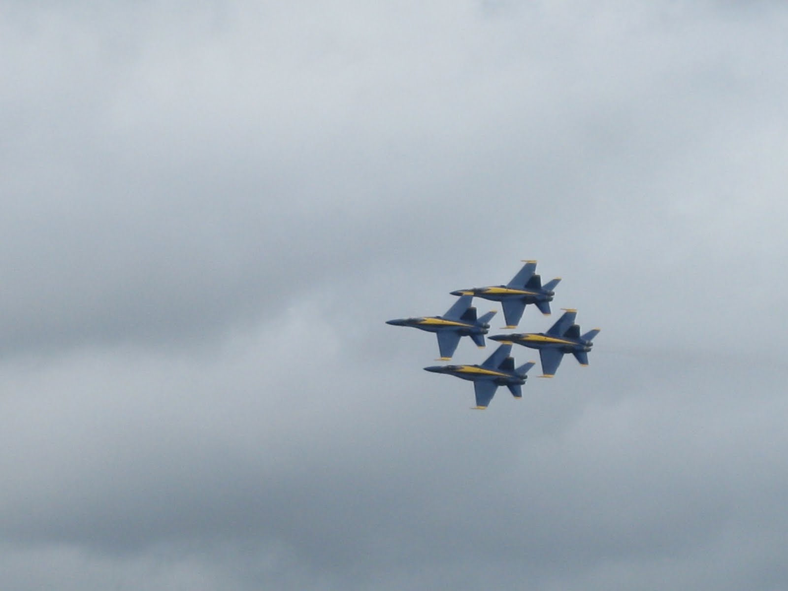
The highlight of the day had to be the F18. It did some high speed passes at just under the speed of sound. It looked like special effects from a movie, but the halo around the jet as it goes super sonic is amazingly cool. The blue angels were great, but the high speed passes of the f18 were jaw dropping.


Sunday was house cleaning day. Jodi did an amazing amount of work. I did a timed walk up Tiger Mountain in a vain attempt to wear out Rex and get some exercise.

Sunday, August 1, 2010

Kendall Katwalk

What a great hike. 10 or so miles on the storied Pacific Crest Trail. Over 2,700 miles from Mexico to Canada, and we hiked roughly 5 miles of it each way. The trail’s rich history is humbling. It’s an old trail, parts of which date back to 1930 or before. Rocks on the trail are polished by thousands of boots over the years.


Our destination was the ‘Kendall Katwalk’. A result of the dilemma ‘this is a great route for a trail except for that sheer cliff right there’. But with lots of dynamite, anything is possible. A trail was blasted right through a near vertical cliff. And that was our destination.


The trail began near Alpental at roughly 3100 feet. The PCT logo was there as well as an old sign marking ‘Snoqualmie Pass’, but the ‘P’ was missing.


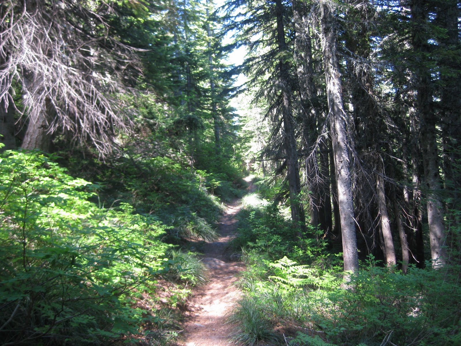
The trail wound through forest and slowly climbed. Eventually we’d gain roughly 3500 feet of elevation (with ups and downs) but the first part was a nice even pace.


The forest held some ‘peak a boo’ views of Guye Peak and aptly named Red Mountain and a modest waterfall.


Once we exited the forest after about 4 miles the views and the wild flowers really opened up.


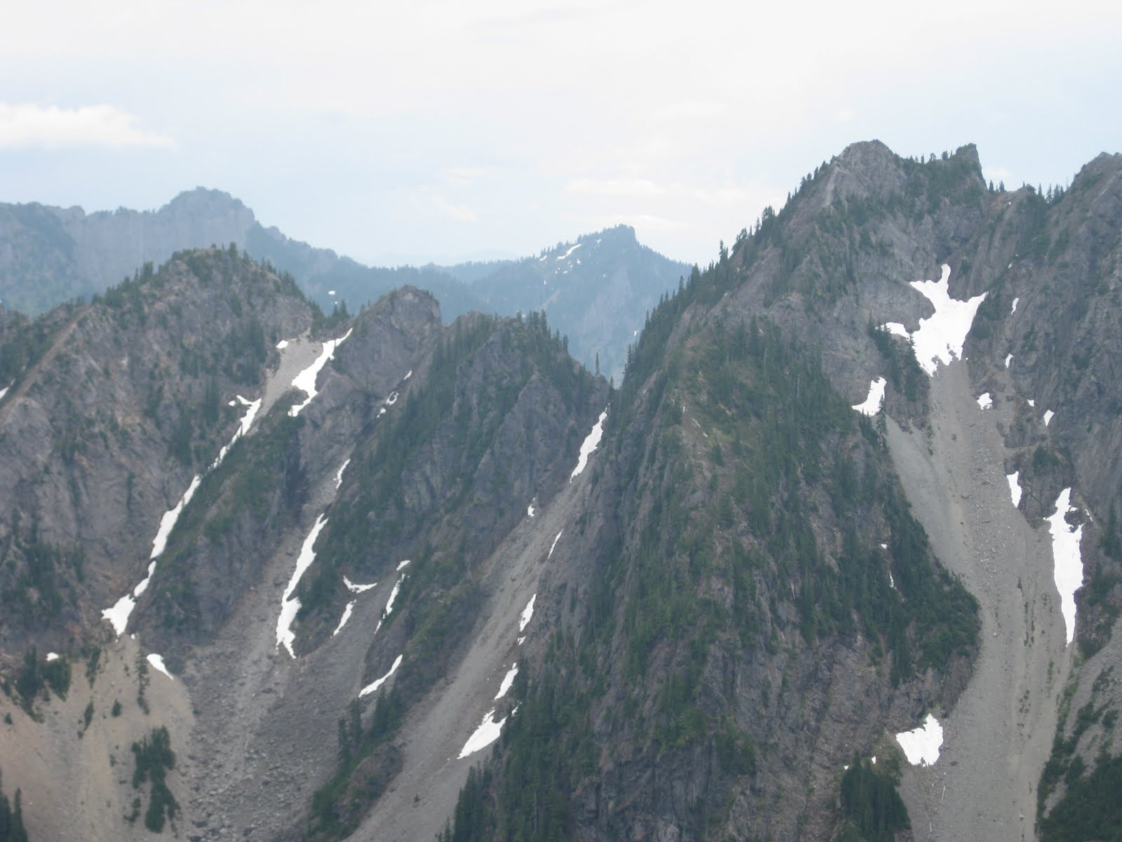
With hikes in previous weeks we’ve seen many of the same mountains, but from the west, and from a lower elevation. This week we were east of those mountains and at 5600 feet. The views were spectacular.


The Katwalk itself is fairly short. It’s really impressive only after you stop to think how difficult it must have been to create.


All and all a great hike. The total experience was great. Historic trail through the forest, great alpine views, and a pretty cool engineering feat.


Nice day.

Saturday, July 24, 2010

Pratt Lake

We got out of work at 2:30 on Friday and were hiking at 4:30 on the Pratt Lake Trail. We seemed to start out slow, but the miles slowly peeled away as we gained 2,300 feet to the saddle between Granite and Bandara Mountains, then dropped into the Pratt Lake basin.


We found a sweet campsite right on the lake and Rex took up guard duty to protect against the ‘enemies’. In this case, the enemy was troop 664, twelve year olds all, from South Seattle. They were pretty well behaved kids, and just far enough away that we really didn't hear them much, but Rex on watch ‘just in case’ (of what we weren’t really sure).


Jodi made a real nice meal on my nearly 50 year old primus camp stove and we began to slowly unwind on a Friday night in the wilderness, guarded by Rex and comforted by each other, a nice chianti, and some bourbon. The sun gave way to twilight and then the moon came out in spectacular fashion. Owing to the wine and the bourbon, the moon wasn’t digitally captured, but was certainly enjoyed and is etched in the memory banks.


The evening was pretty comfortable. We learned from the earlier backpacking experience. Better pack, light weight sleeping bag and two sleeping pads. All of which made for a nice nights sleep.  Rex did provide a little excitement during the night.


The morning was spectacular and Starbucks instant coffee sleeves make backpacking mornings WONDERFUL!!

We did see two trail runners at about 7:30 in the morning and many more throughout the day.  They all were taking the loop route from Melwaka lake (see the post two weeks ago).  It was a bit odd waking up in what some would say the wilderness, but at the same time be on somebody's jogging route.

The trail runners we would encounter throughout the day were a diverse, but impressive group. We saw perhaps 20 in all.  One couple was gearing up for a race in Italy that was over 180 miles long with nearly 60,000 feet of vertical elevation in 8 days.  Wow. 

We took an excursion off to lower Tuscohatchie lake and found much better campsites. Nobody was there and that’s our next destination, perhaps next weekend.  We also ran into a ranger and after the obligatory 'put yer dog on a a leash' request, he told us of a fishermans trail to upper Tuscohatchie lake as well as a story about 'My Lake', that apparently has an old trappers cabin. Perhaps some exploring is needed....
A great start to the weekend. And it’s only half way done!!

Sunday, July 18, 2010

Bandara's Backside


We took a 10 mile, one way trip around Bandara’s backside. We’d been planning this mini trek for about a week as an alternative to an overnight backpacking trip. We parked one car at the Pratt Lake trailhead then drove the other to the Ira Spring trailhead off of exit 45.


The trail follows an old logging road and rises gently, but after a half mile or so departs from the road and rises sharply up Bandara. The steady incline stays constant until the cutoff for Bandara’s peak is reached. And this is where the wild flowers, especially the bear grass were in full bloom.


We took the Mason lake branch at the cutoff and mercifully the incline stopped as we reached the lake. The lake was warm and had some pretty cool campsites. There was even a sign to a ‘toilet’. A fellow was swimming in the lake, but it seemed pretty buggy.


We pushed on and started to run into the last of the snow on the trail. There’s a very cool rock formation that you could camp under if you had to and some small lakes.


This part of the hike was the most enjoyable. The trail stayed roughly at the 4600 foot level and wound around an alpine meadow. While there were occasional jets way overhead, there were no man made sounds. The dim roar of I90 was completely absent and except for the occasional planes, it was silent. We passed Rainbow lake (another nice spot to camp), the cutoff for Island lake, then slowly descended from the alpine meadow back into the forest and stayed well above Olallie lake as we rounded the basin containing it.


Now on the Pratt Lake trail, we slowly descended into the forest for the final 2 mile drop to the Pratt Lake trailhead.


All in all a great day. Other than the wild flowers on Bandara, there was no single ‘wow’ feature of the hike, but taken as a whole, this is a great hike through many different zones. Forest, sub alpine, alpine – each elevation has it’s own ecosystem and while the transition between them is gradual, each is distinctly different. The absence of sound and the smell of the wildflowers delighted the senses.


One way hikes are different. You are going somewhere. Familiar tracks are not retraced.


Need to do this one again.


Sunday, July 11, 2010

Melakwa Lake

This trail had been on the list for some time, but other hikes and events seem to nudge it out each time. Saturday morning became the day to cross this one off the list.


The hike starts at the crowded Denny Creek trail head. All shapes and sizes and quite a number of kids use this as the parking lot for Franklin Falls as well as the ‘Denny Creek water slide’.


The trail starts innocently enough and is well maintained for the first mile and a half or so. Along the way the trail goes under the west bound lanes of I-90. It’s eerie and nearly unreal to be hiking through a well developed forest then see these monster columns rise from the forest floor supporting 4 lanes of traffic a couple of hundred feet in the air.


Shortly after walking under I-90, the trail drops into the Denny Creek water slide and all the sounds of many kids enjoying themselves.


After crossing Denny Creek, the trail climbs to Keekwulee Falls, which are really nice.


After the falls, the scenery stays great, but the trail gets ugly. The climb just doesn’t stop and between the roots and the rocks you really need to watch every step. Or so it seems. Unlike other trails, it just seemed that quite a bit of energy and concentration went to footing.


The wild flowers were really nice and we didn’t take enough pictures of them. There were some purple trilliums that were stunning.


The trail rises with many switchbacks, about half of them nearly underwater, to Hemlock Pass. After clearing the pass the trail drops gently to Melakwa lake. The lake was just becoming unfrozen. About a third of it still had ice, but it was melting fast. The water was nearly air-clear and very cold.


A great hike. We were tired at the end and Rex got in the back seat and collapsed. A good day.

Tuesday, June 15, 2010

Tuesday -- Chirico Trail

Well, we're trying to fix the prolonged gap in hiking. We went up the Chirico trail to the paragliding launching pad on Tiger Mountain.  Nobody was jumping today, but what a nice trail.  The map says 1.7, but our legs said 2.0 miles to the top.  In any case it's a steep 50 minute or so walk to the top.  Decent workout.